
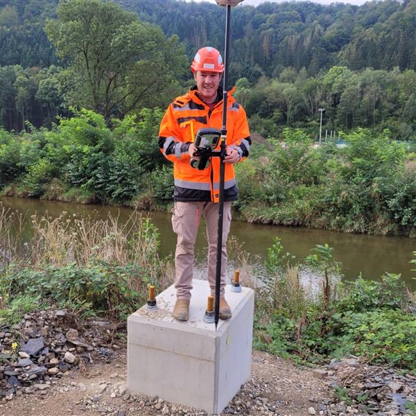
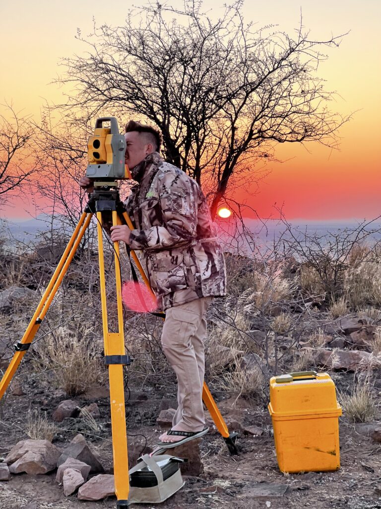
Engineering & Construction Set Out
Engineering and construction set out ensures that design elements are accurately positioned on the ground in accordance with approved plans and coordinates. Using GNSS and total station equipment, we translate design data into physical reference points on site, providing confidence that construction works are built to the correct location, alignment, and level.
Typical applications
• Road, building, and infrastructure set out
• Structural grid and alignment marking
• Level control and vertical alignment
• Verification of constructed works against design
• Ongoing construction support and checks
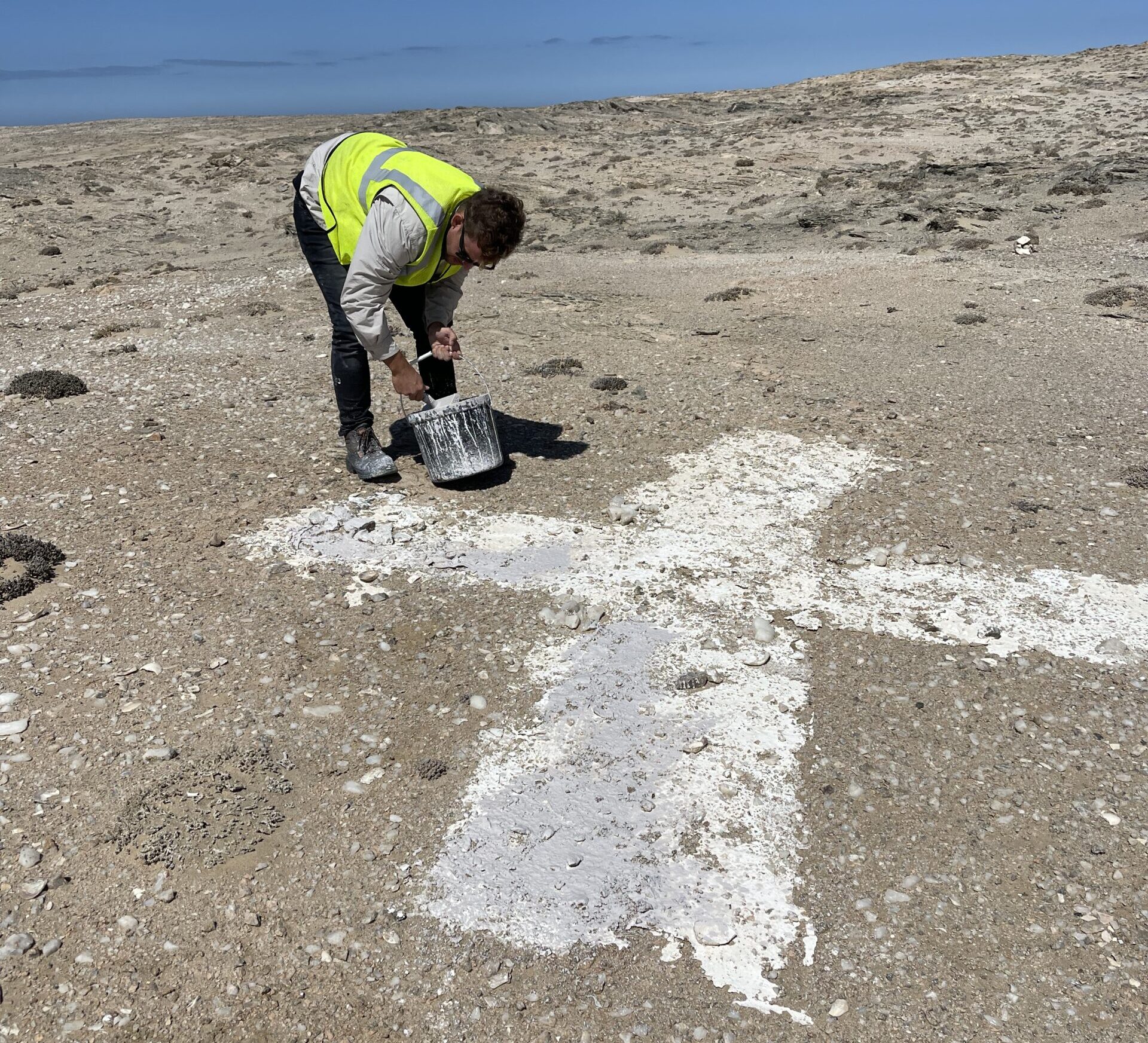
Cadastral & Boundary Surveys
Cadastral and boundary surveys define, verify, and document property extents in accordance with approved survey records and statutory requirements. Through careful measurement, record research, and boundary evidence verification, we provide legal certainty for landowners, developers, and conveyancers.
Typical applications
• Boundary verification for purchase or development
• Property boundary definition and reinstatement support
• Land transactions and conveyancing requirements
• Dispute clarification and boundary evidence checks
• Site planning and fence line alignment
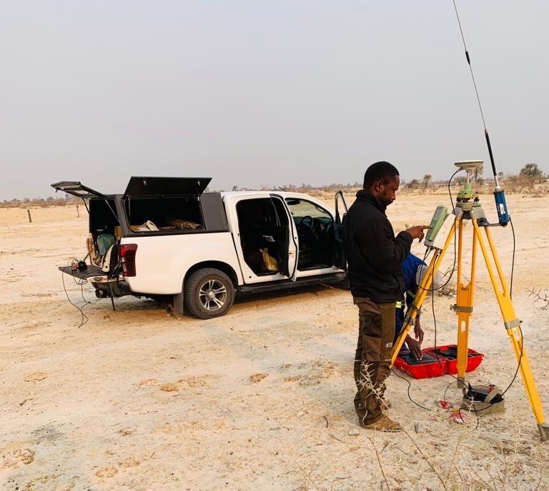
Topographic & Detail Surveys
Topographic and detail surveys capture terrain and surface features required for planning, design, and engineering decision making. Using GNSS and total station methods, we map both natural and built features with the accuracy needed for earthworks calculations, drainage design, and infrastructure planning.
Typical applications
• Engineering design base mapping
• Earthworks and drainage planning
• Road and services design support
• Infrastructure and asset mapping
• Pre construction site assessment surveys
Integration with LiDAR & Aerial Data
GNSS and total station surveys provide the control and validation required to ensure LiDAR and photogrammetry outputs meet accuracy expectations. By establishing ground control, check points, and independent verification, we strengthen confidence in aerial deliverables and ensure datasets align correctly with existing survey frameworks.
Typical applications
• Ground control point establishment for photogrammetry
• Check surveys and independent accuracy verification
• Datum alignment and transformation validation
• Control for aerial LiDAR and corridor mapping
• Integration of ground and aerial datasets into CAD and GIS