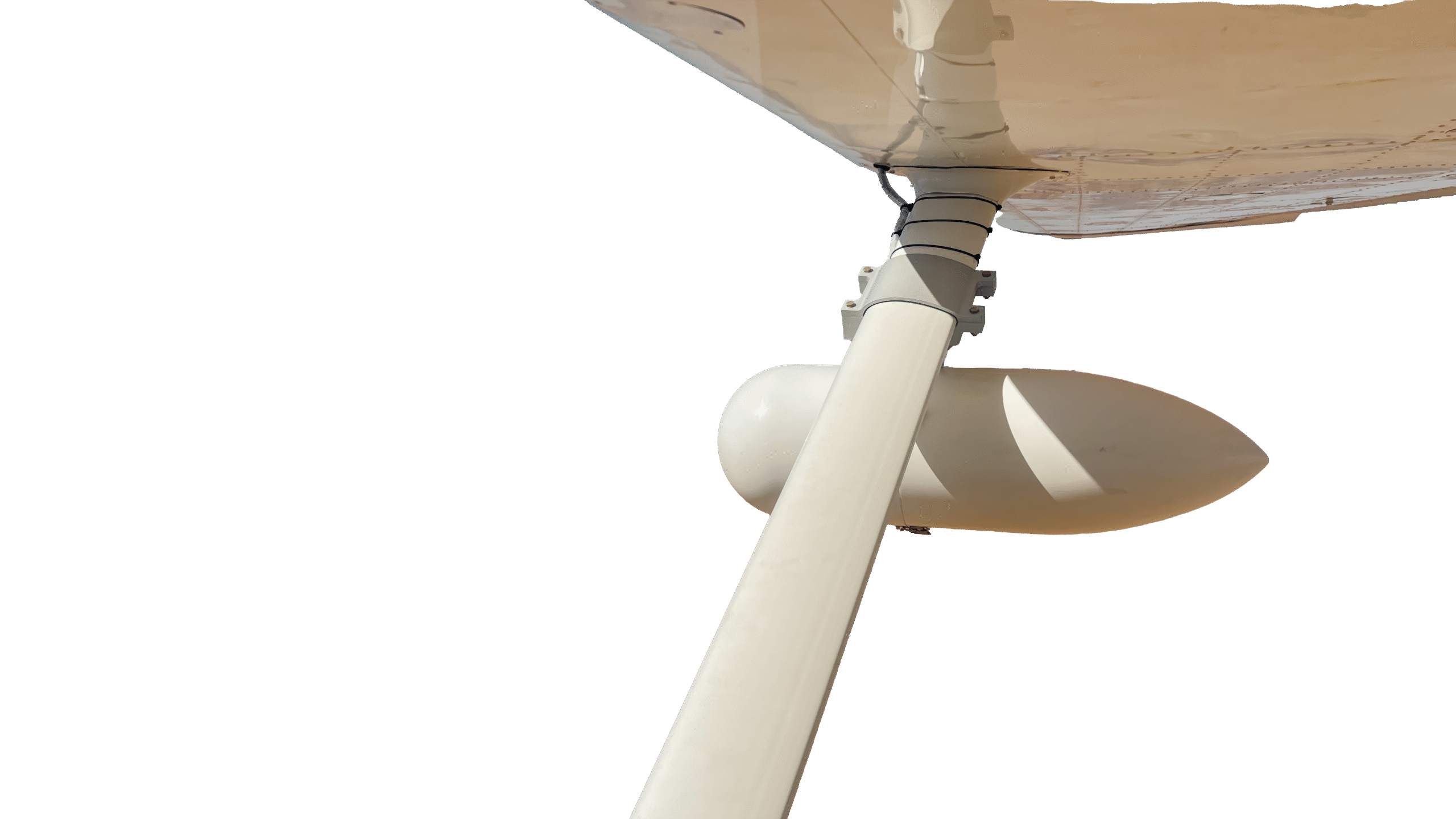
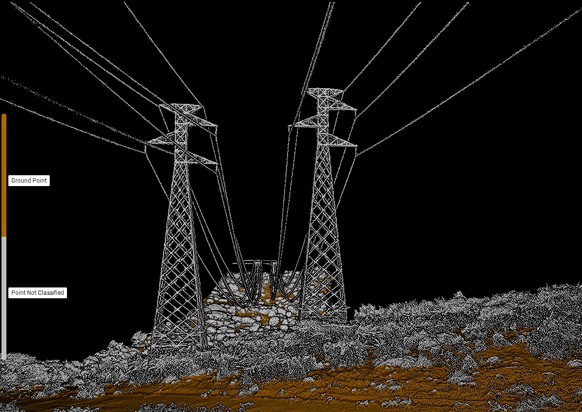
Powerlines Corridor mapping, tower positioning, and clearance analysis using LiDAR and photogrammetry.
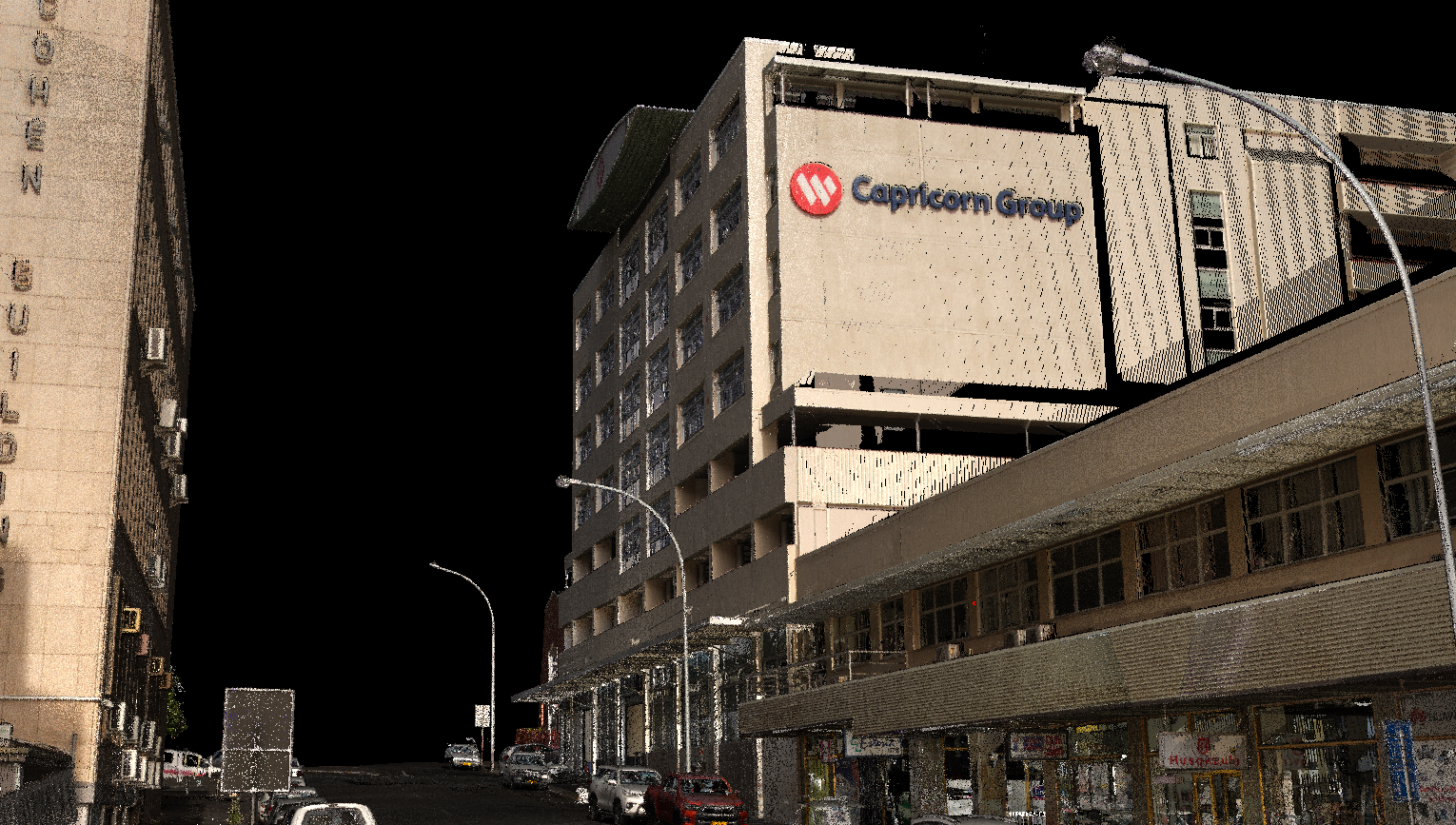
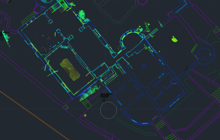
As Built Surveys High density terrestrial laser scans capturing what was actually constructed, not what the drawings claimed was built. Ideal for verification, handover documentation, and dispute resolution.
Structural & Facade Scanning Millimetre accurate scanning of buildings, bridges, retaining walls, and heritage structures. Produces precise geometry, deformation analysis, and high resolution orthographic elevations.
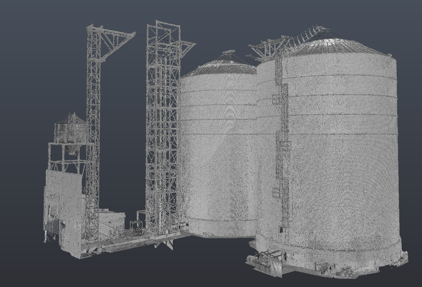
Industrial & Plant Scanning Detailed 3D capture of factories, pump stations, substations, pipelines, and industrial facilities. Enables clash detection, retrofit planning, and accurate modelling of complex installations.
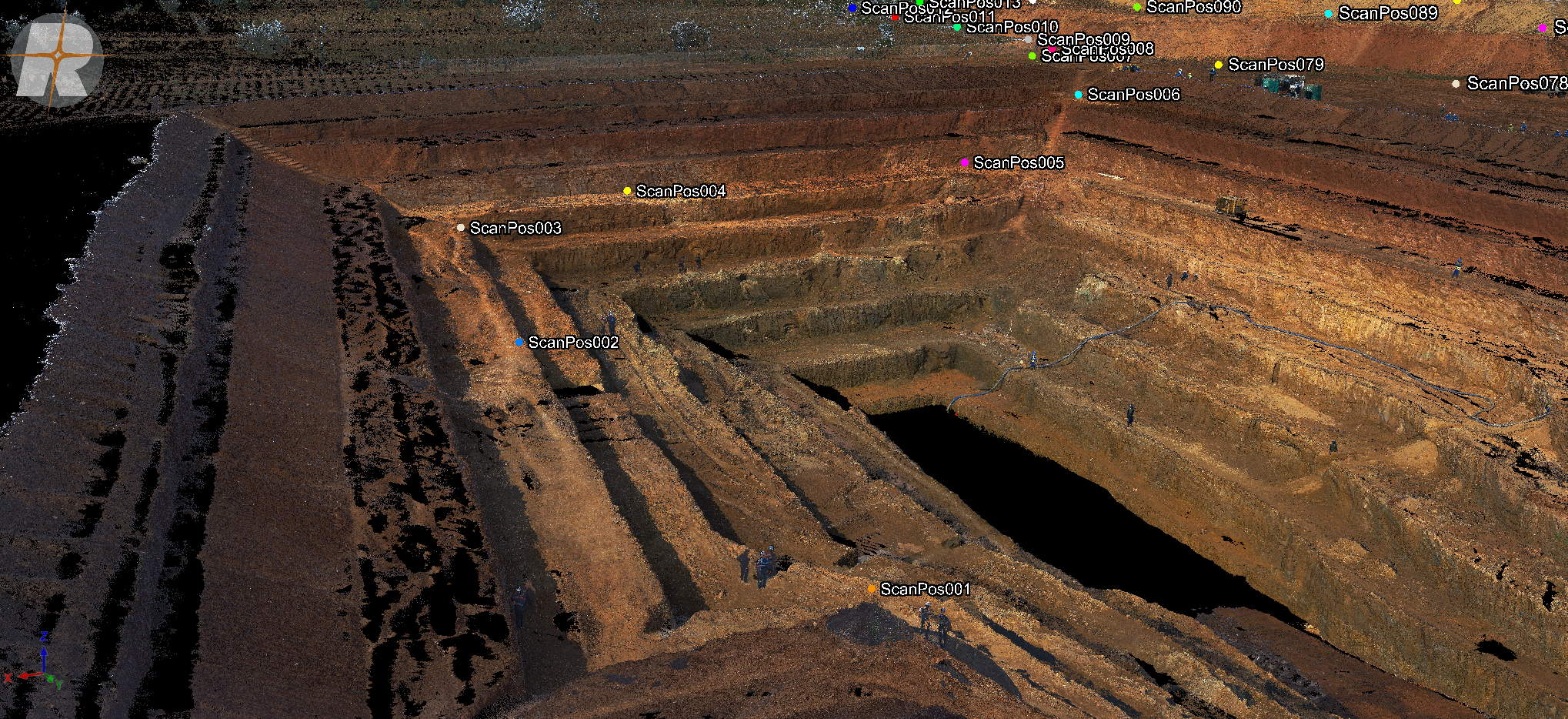
Volume & Stockpile Analysis Rapid and safe measurement of stockpiles, quarries, mines, and material yards. Delivers highly accurate volume calculations without personnel climbing unstable surfaces.
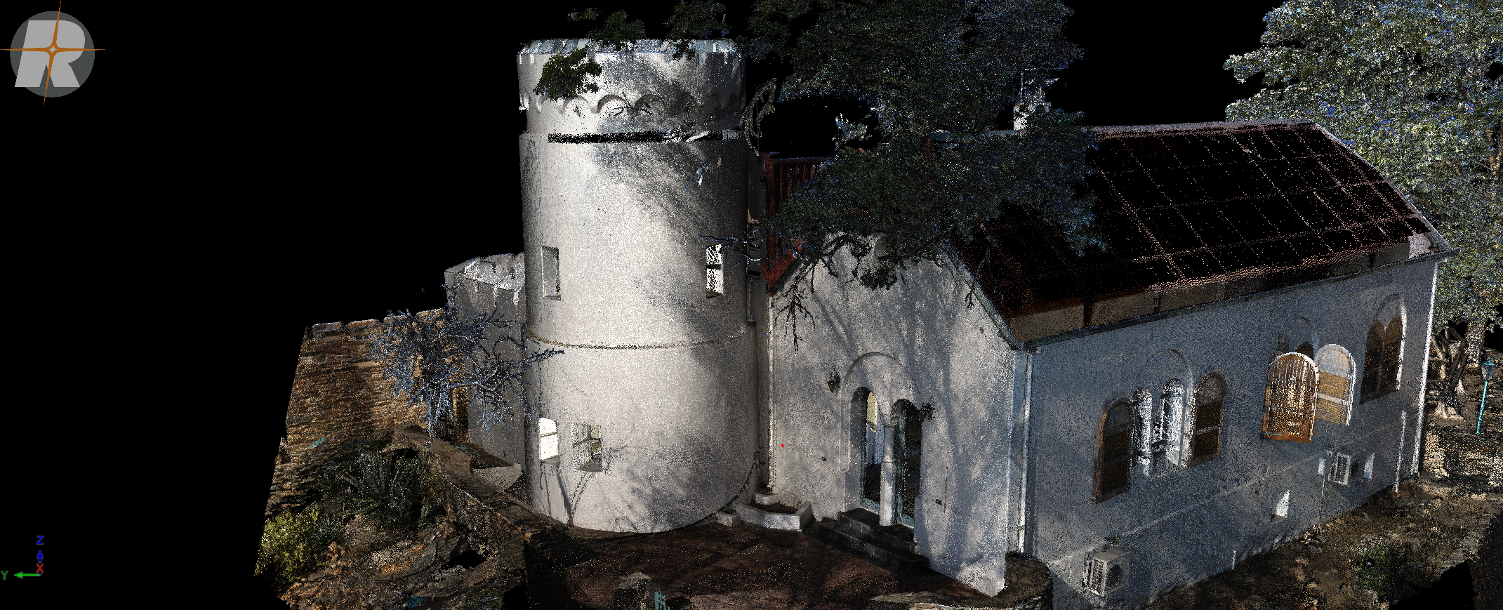
Heritage & Conservation Documentation Non invasive laser scanning of historical buildings, monuments, and ruins. Creates permanent high resolution records for restoration, conservation, and archival purposes.
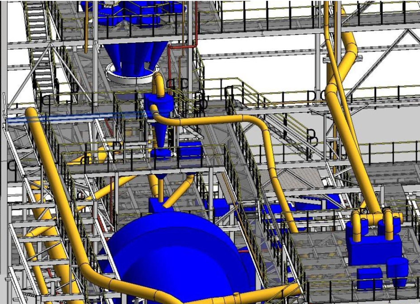
BIM & CAD Model Generation Conversion of point cloud data into BIM or CAD models suitable for design, coordination, and engineering workflows. From raw scans to usable geometry engineers can actually work with.
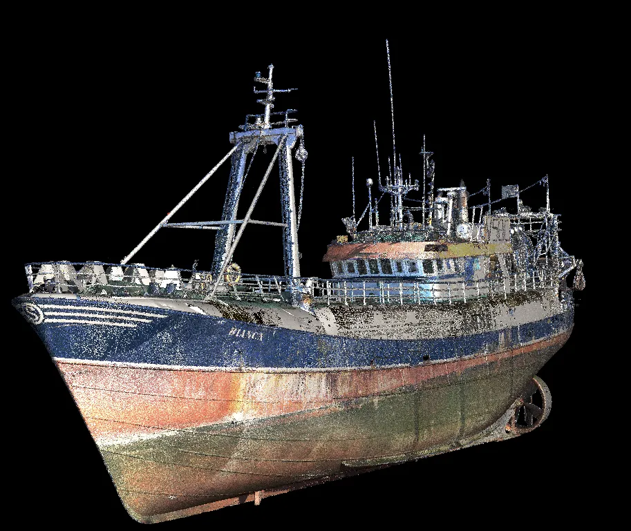
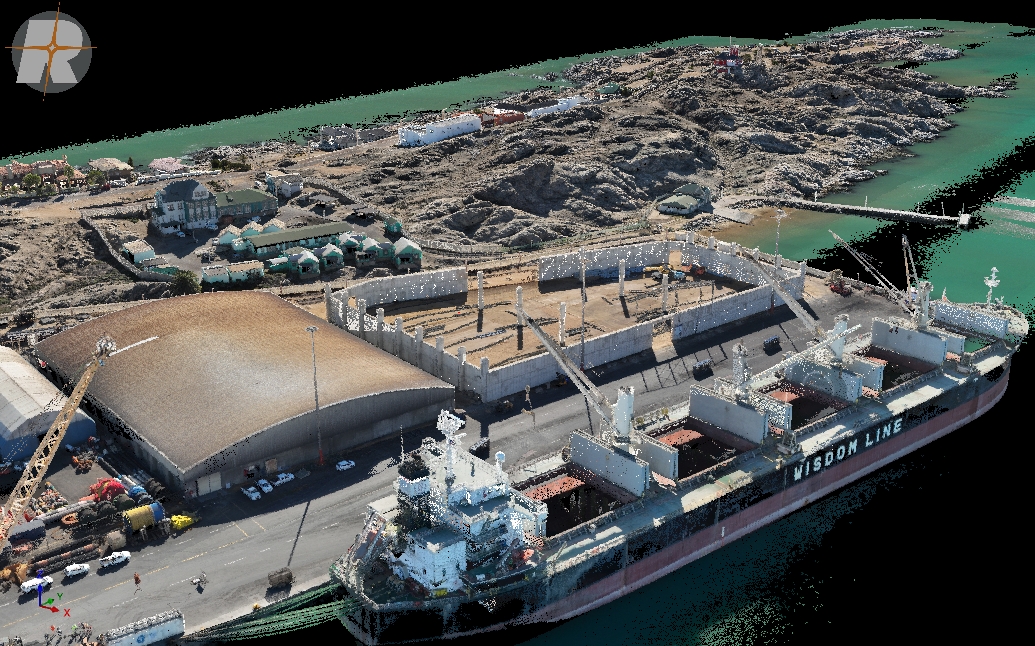
Marine Vessel Scanning Laser scanning of marine vessels provides precise three dimensional capture of entire hulls, superstructures, and onboard systems.
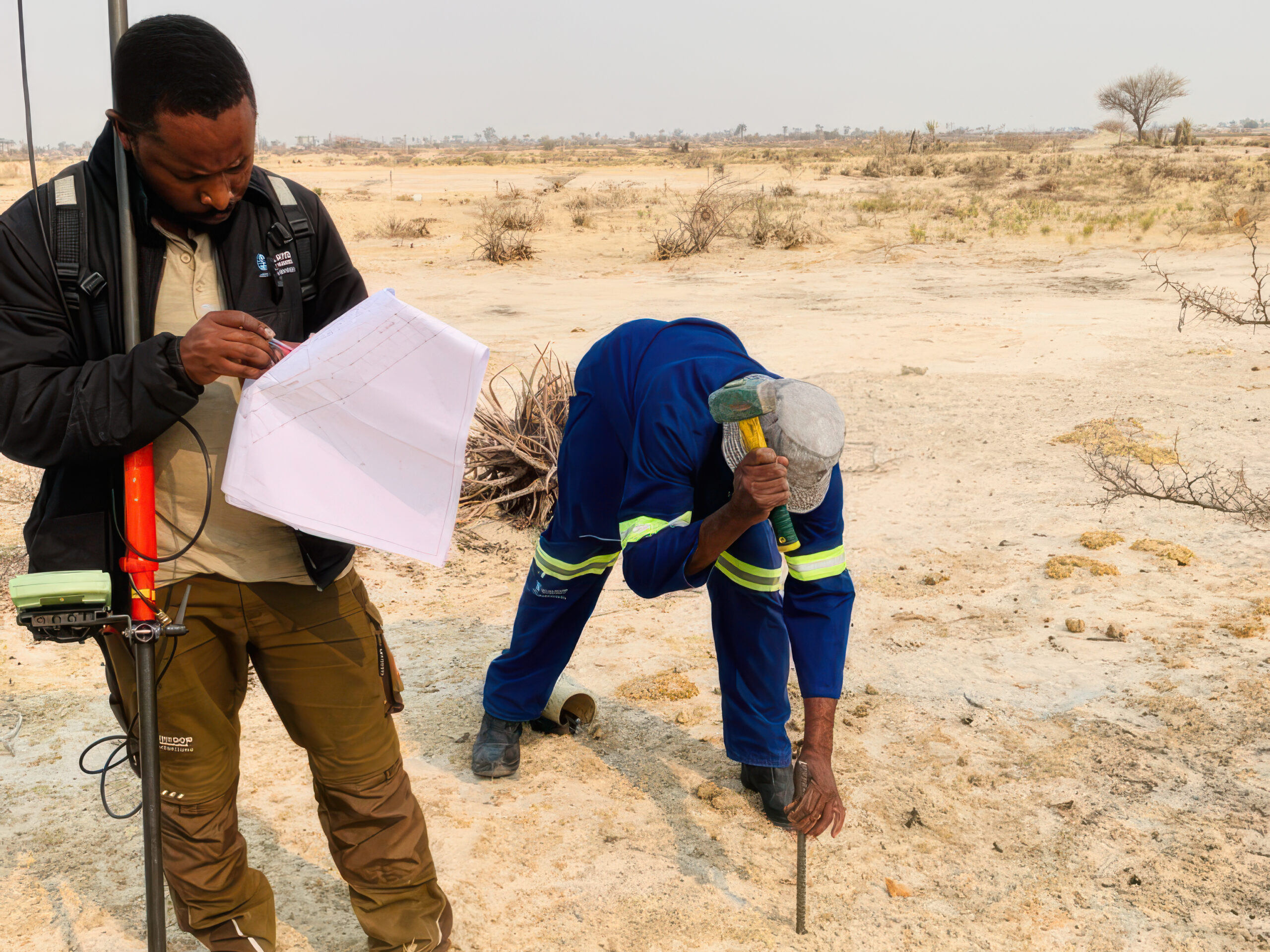
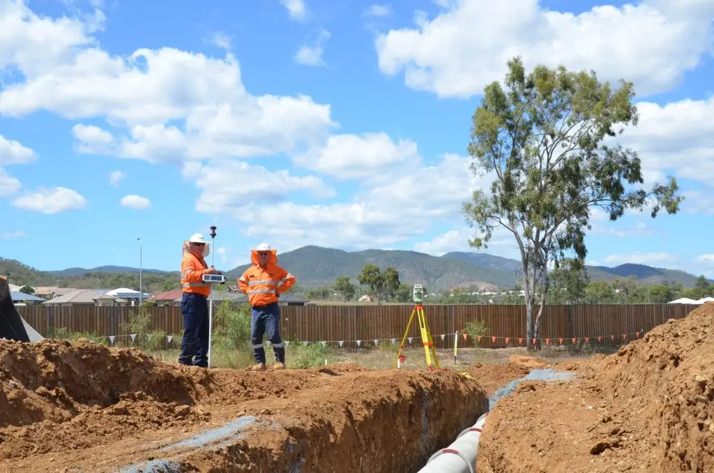
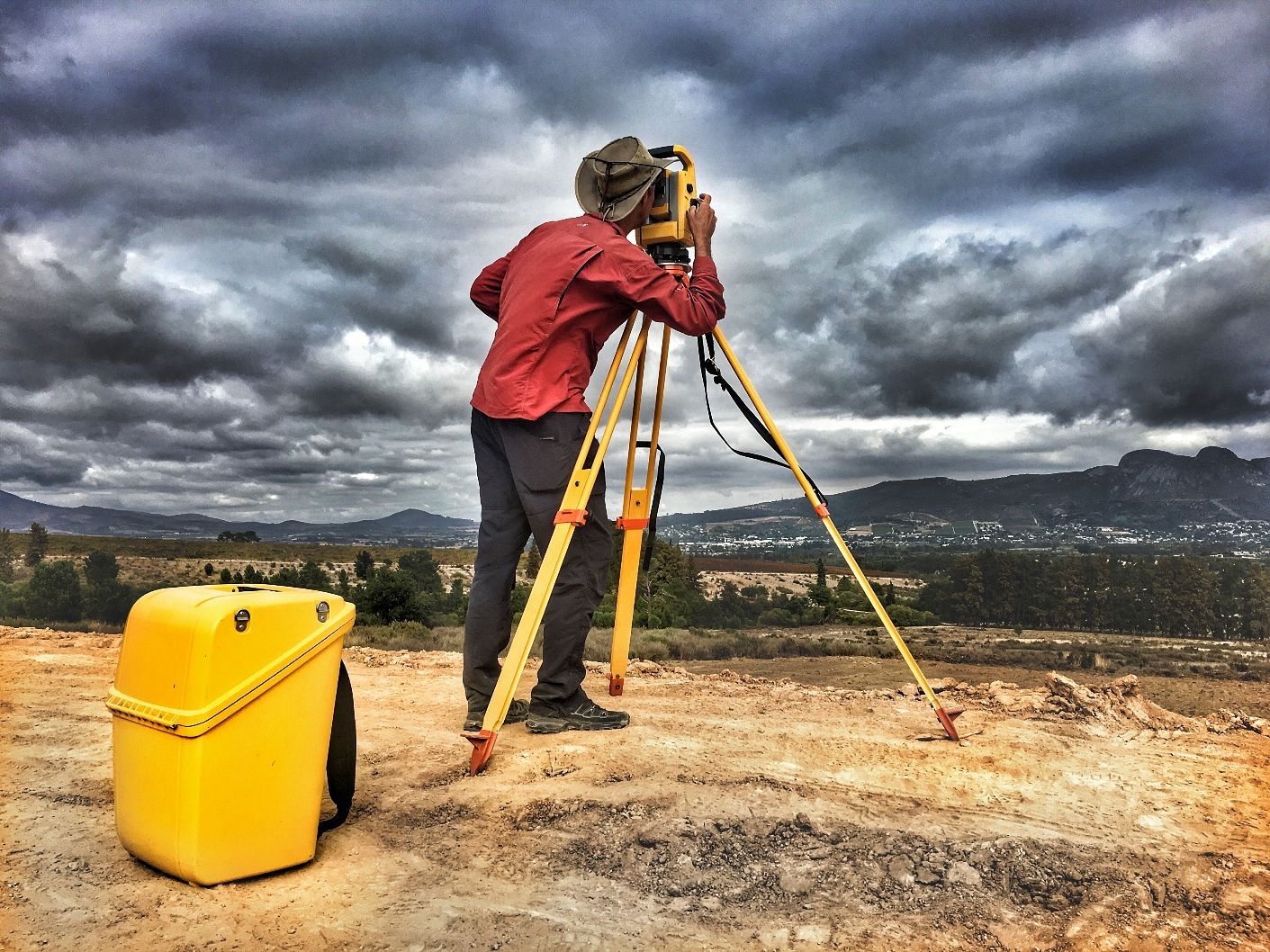
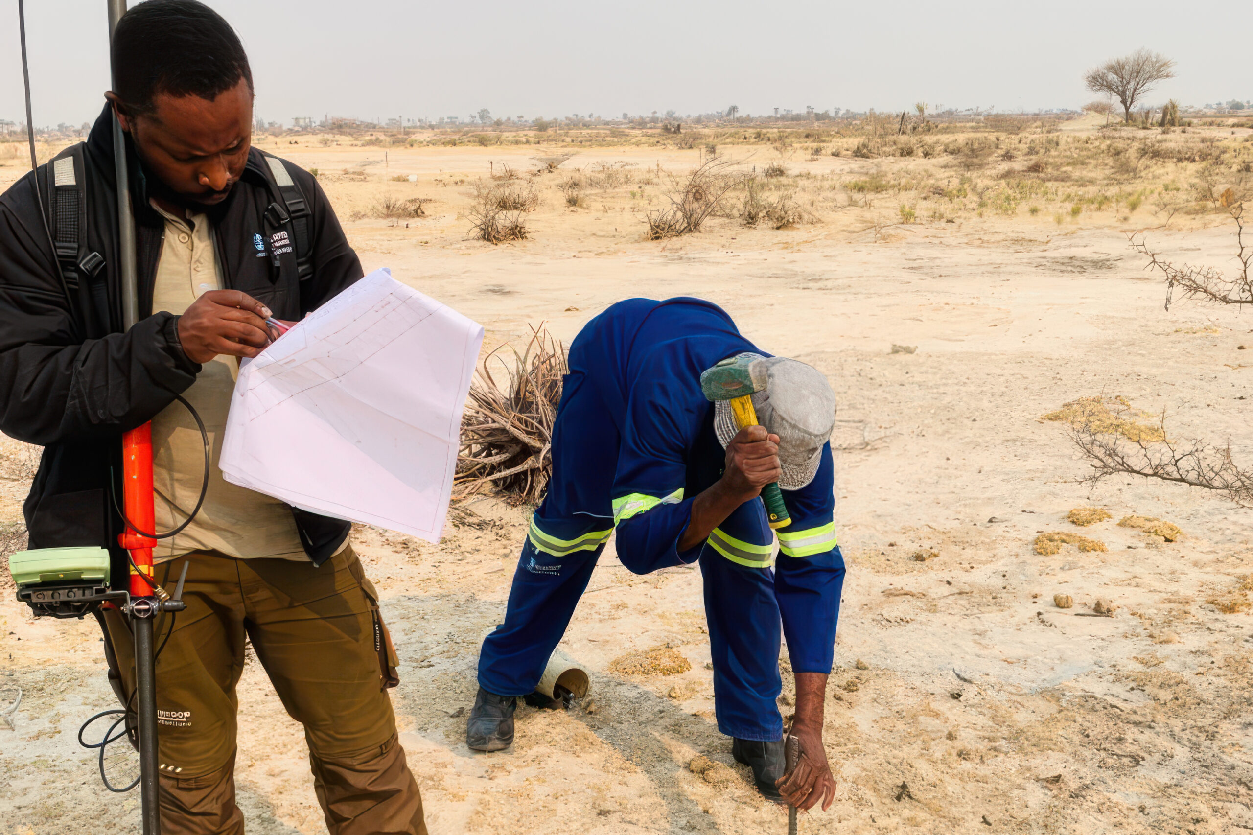
Engineering & Construction Set-Out Accurate positioning and layout of structures, services, and infrastructure to ensure construction is built precisely to design.
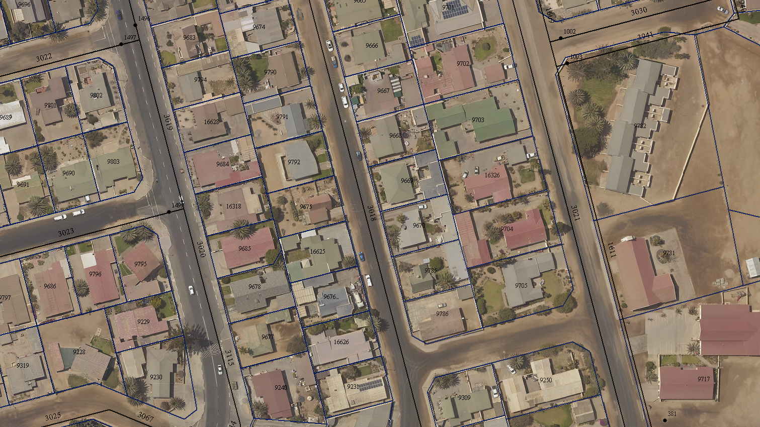
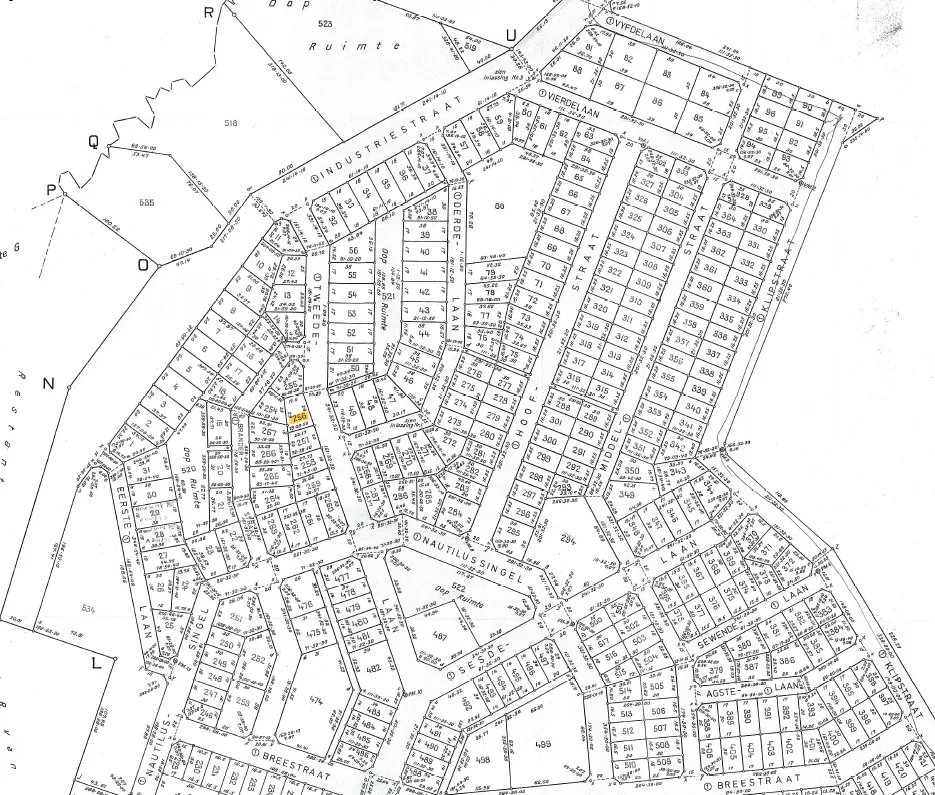
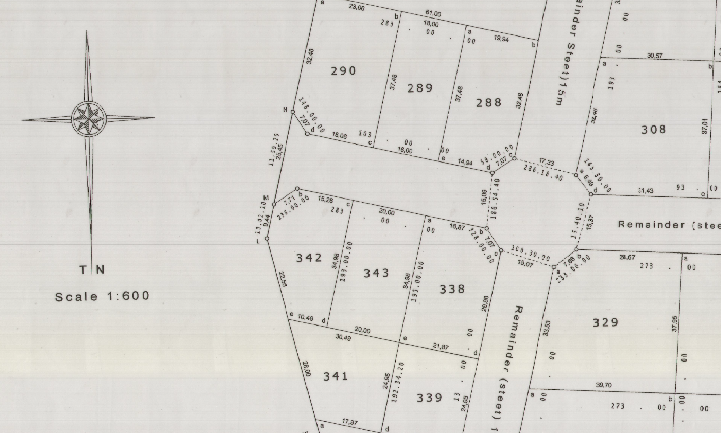
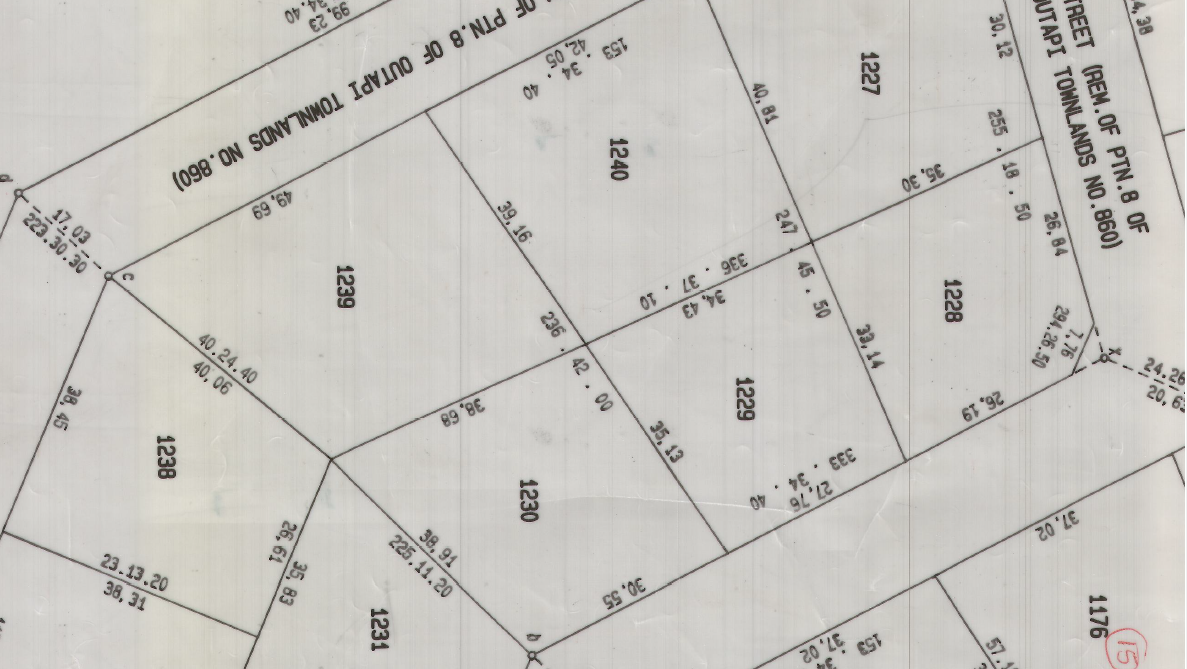
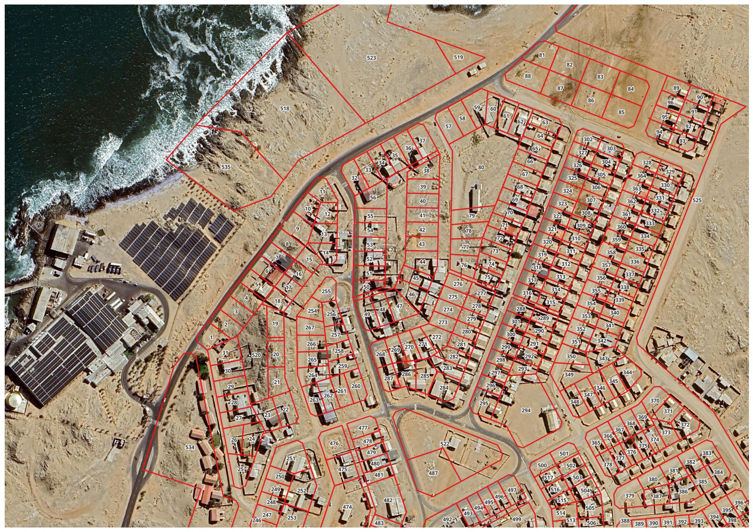
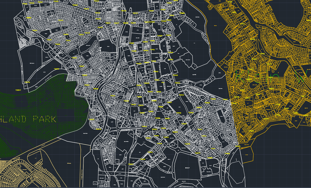
Cadastral & Boundary Surveys Legal boundary determination and cadastral surveys using GNSS and total stations for land registration and development.
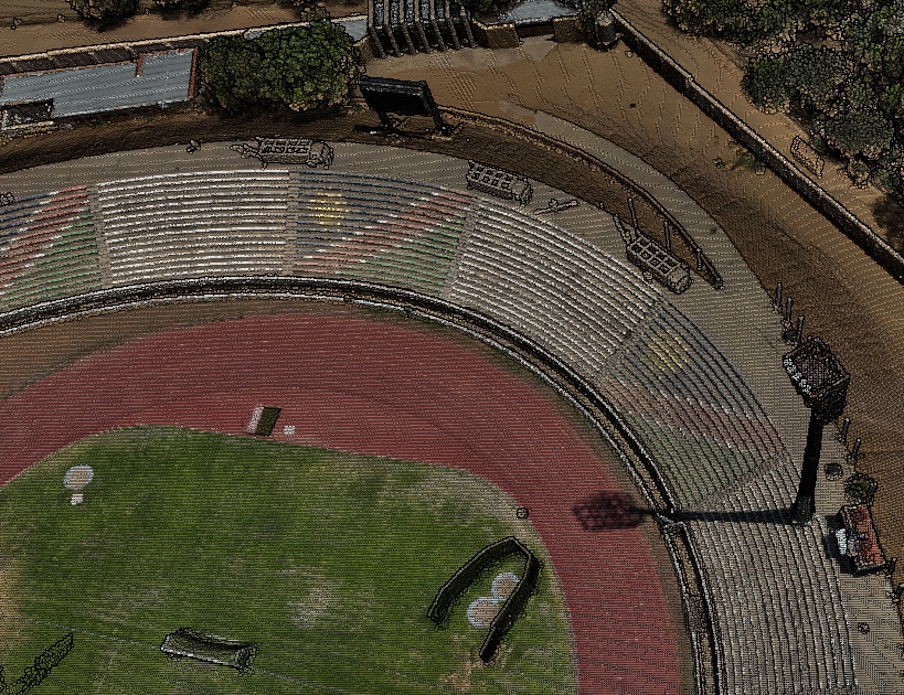
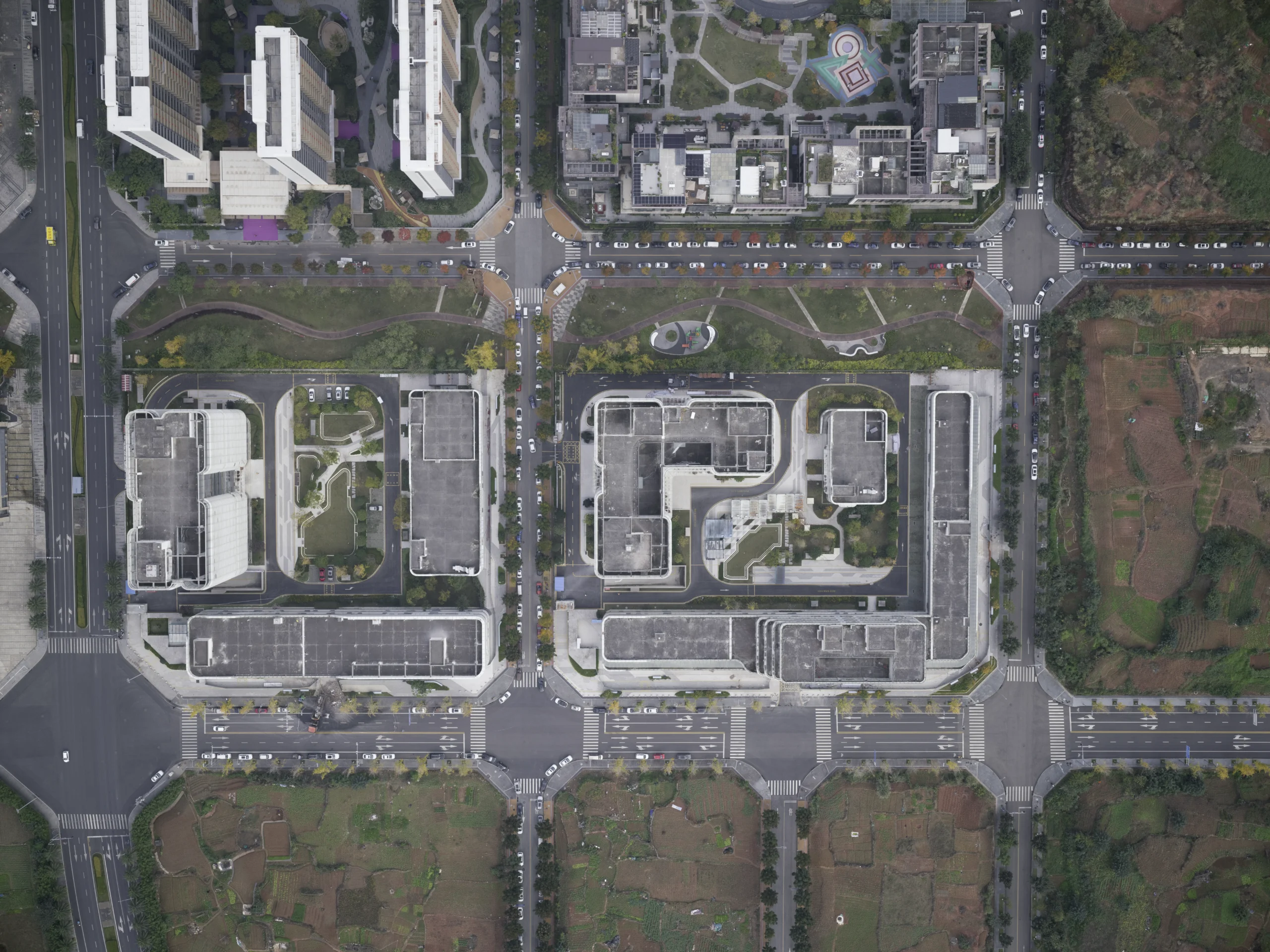
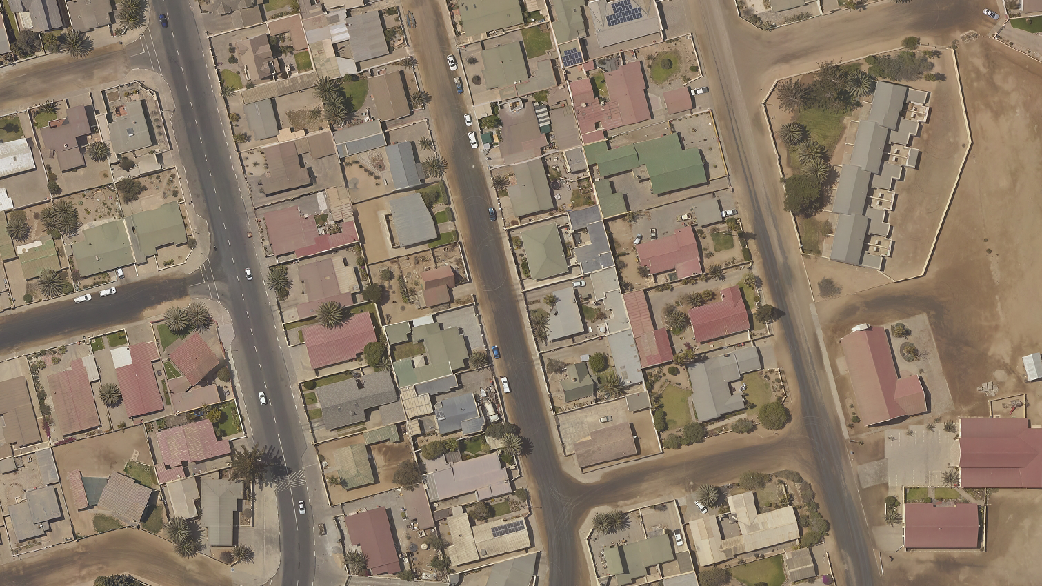
Topographic & Detail Surveys High accuracy mapping of terrain, features, and infrastructure to support planning, design, and earthworks.
Integration with LiDAR & Aerial Data Ground control, validation, and enhancement of LiDAR and photogrammetric datasets for survey grade accuracy.
Subdivisions Division of land into multiple erven or lots in accordance with planning legislation and local authority requirements.
Consolidations Amalgamation of two or more registered properties into a single parcel to support development, planning, or ownership simplification.
Sectional Title Surveys Surveying and unit delineation within sectional title schemes, ensuring accurate definition of sections, common property, and exclusive use areas.
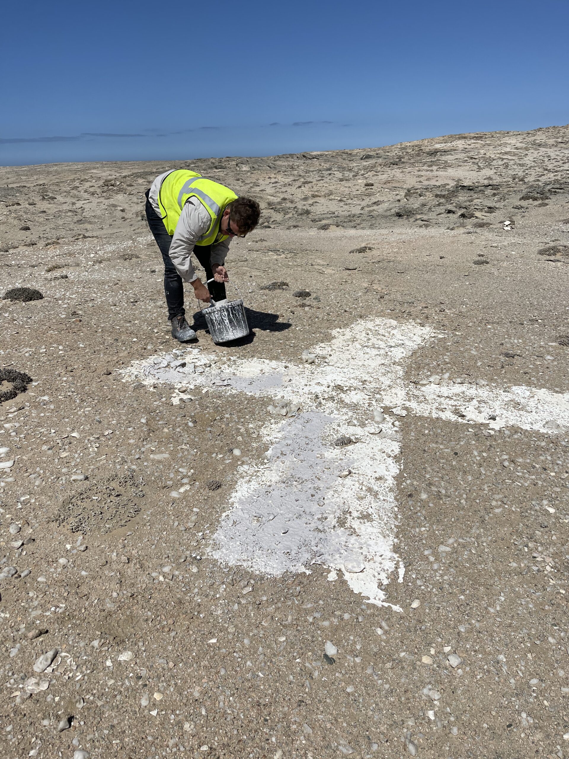
Beacon Relocation Location, reinstatement, and verification of cadastral beacons to provide legal certainty for development, transactions, and dispute resolution.
Servitudes & Right of Way Surveys Surveying and definition of servitudes, access rights, and utility corridors for legal registration and land use compliance.
Township Establishment Surveys Comprehensive surveying support for new township developments, including layout design, statutory compliance, and registration processes.
Cadastral Data Capture Accurate capture and validation of cadastral information to support land registration systems, planning authorities, and spatial data management.
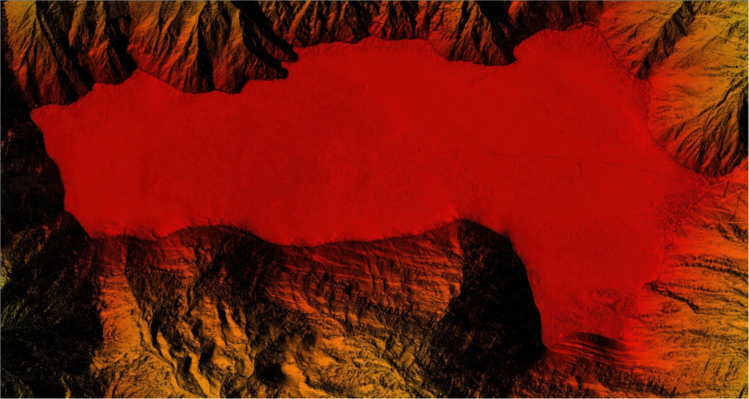
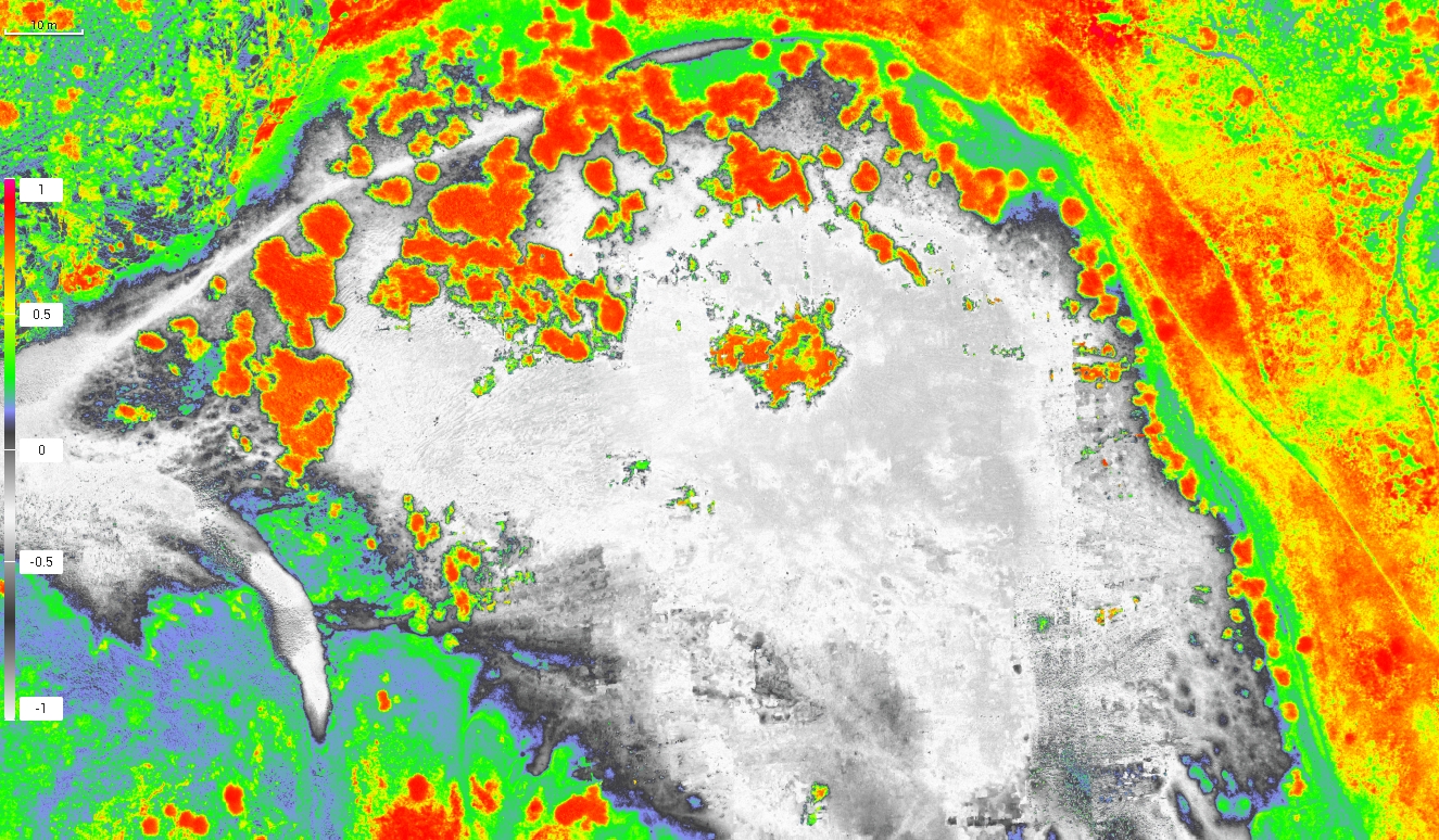
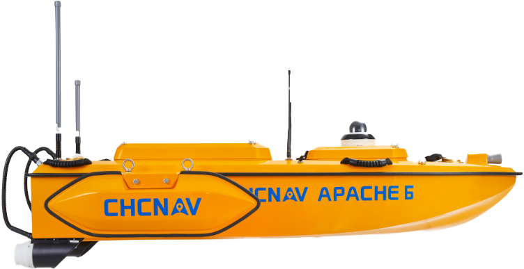
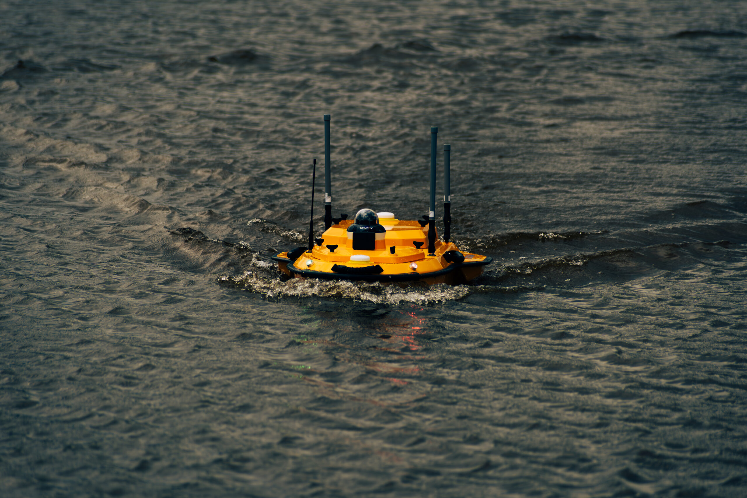
Reservoir & Dam Surveys Underwater mapping of dams and reservoirs to assess storage capacity, sedimentation, and long term performance.
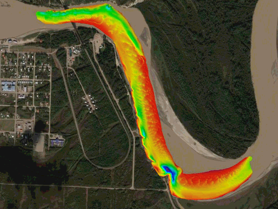
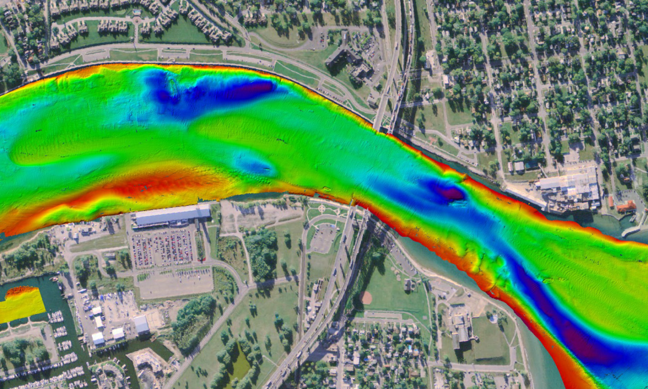
River & Channel Surveys Bathymetric profiling of rivers and channels to support hydraulic modelling, flood analysis, and erosion assessment.
Harbour & Waterfront Surveys Surveying of harbours, canals, and waterfront areas to support navigation safety, maintenance dredging, and infrastructure planning.
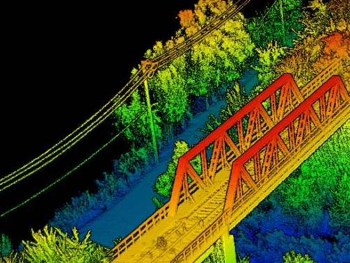
Bridge & Underwater Structure Inspections Visual and bathymetric inspection of bridges, culverts, and submerged structures using USVs with 360 degree cameras for safe condition assessment.
Integrated Hydrographic Mapping Combined bathymetric and topographic surveys producing seamless models from above water to below water environments.