Reservoir & Dam Surveys
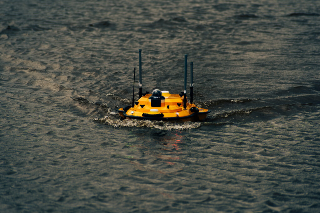
Bathymetric surveys of reservoirs and dams provide accurate underwater surface models used to evaluate storage capacity, sedimentation patterns, and long term performance. Using USV based bathymetric systems with precise positioning, we capture reliable depth data without the safety risks and time costs of manual measurement.
Typical applications
• Capacity assessments and volume calculations
• Sedimentation mapping and monitoring over time
• Dam safety support and asset management planning
• Baseline surveys for maintenance and rehabilitation projects
• Verification surveys following dredging or desilting works
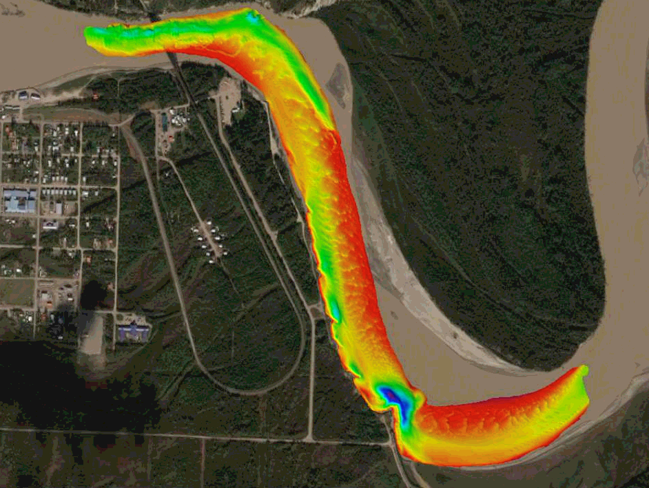
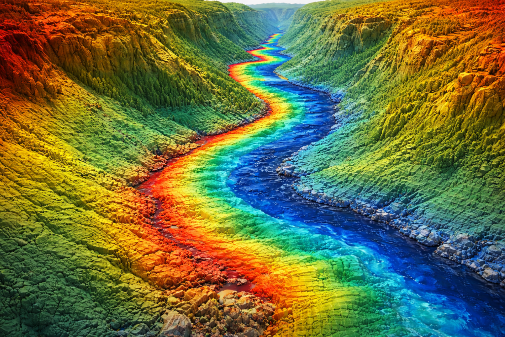
River & Channel Surveys
River and channel bathymetry captures depth profiles and underwater geometry required for hydraulic analysis and infrastructure planning. This data supports modelling of flow behaviour, flood risk, scouring, and erosion, while providing accurate channel cross sections and longitudinal profiles for engineering and environmental decision making.
Typical applications
• Hydraulic modelling and flood studies
• River cross sections and longitudinal profiles
• Scour and erosion assessment near structures
• Channel capacity evaluation and design support
• Baseline surveys for river training or rehabilitation works
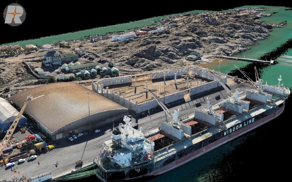
Harbour & Waterfront Surveys
Harbour and waterfront surveys provide accurate depth mapping and underwater feature identification to support safe navigation, maintenance planning, and infrastructure development. Bathymetric datasets are commonly used to plan dredging works, monitor siltation, and support engineering design of marine facilities.
Typical applications
• Navigation safety and clearance verification
• Dredging planning and post dredge verification
• Waterfront development and infrastructure planning
• Channel and berth depth assessments
• Ongoing maintenance and condition monitoring
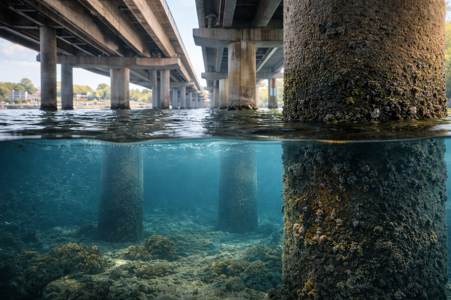
Bridge & Underwater Structure Inspections
Bridge and underwater structure inspections combine bathymetric data with visual inspection capabilities to assess conditions around culverts, abutments, piers, and submerged assets. Using USVs equipped with a 360 degree mounted camera, inspections can be completed efficiently and safely while capturing clear visual records and supporting measurements.
Typical applications
• Visual inspection of bridges, culverts, and river crossings
• Scour assessment around piers and abutments
• Condition documentation for asset management reporting
• Post flood inspections and damage assessment
• Planning support for repair and strengthening works
Integrated Hydrographic Mapping
Integrated hydrographic mapping combines bathymetric and topographic data to produce seamless surfaces from above water to below water environments. This approach supports projects where a single continuous model is required across shorelines, embankments, channels, and adjacent land areas, improving design accuracy and interpretation.
Typical applications
• Shoreline and near shore modelling
• Combined land and water corridor surveys
• Dam wall, spillway, and reservoir integration modelling
• Riverbank and channel rehabilitation planning
• Unified surfaces for CAD, GIS, and engineering design workflows