
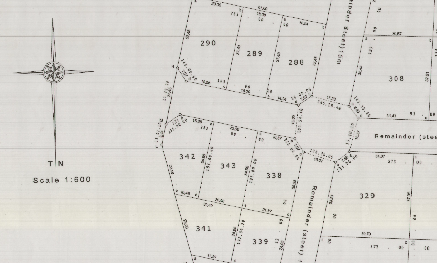
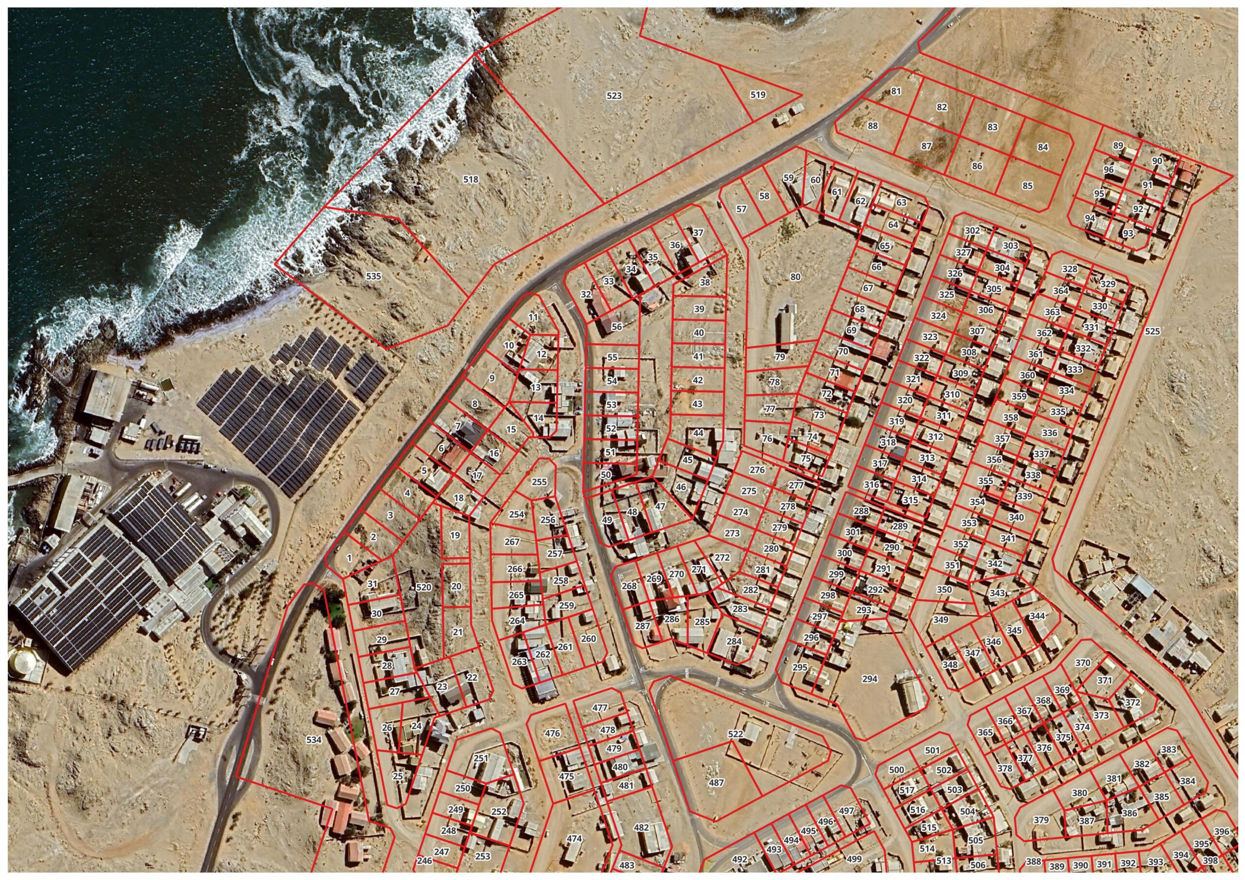
Subdivisions
Subdivisions provide a lawful and clearly defined division of land into two or more erven or lots. The process requires precise survey measurement, compilation of statutory survey documentation, and coordination with planning and local authority requirements to ensure the new parcels can be registered and developed with confidence.
Typical applications
• Residential and commercial development
• Farm portions and agricultural subdivisions
• Development planning and service layouts
• Sale, transfer, and registration of new erven
Consolidations
Consolidations combine two or more registered properties into a single parcel of land. This is often required to simplify ownership, enable redevelopment across multiple erven, or correct fragmented land holdings. Accurate survey work and compliant documentation ensure the consolidated parcel can be registered without ambiguity.
Typical applications
• Merging adjacent erven for redevelopment
• Simplifying land ownership and management
• Planning approvals requiring single parcels
• Alignment with zoning or development frameworks
Sectional Title Surveys
Sectional title surveys define units, common property, and exclusive use areas within a sectional title scheme. Accurate measurement and compliant documentation are essential to ensure each section is legally defined and correctly reflected on sectional plans for registration and transfer.
Typical applications
• New sectional title developments
• Conversion of existing buildings to sectional title
• Unit reconfiguration and scheme amendments
• Certification and registration support for conveyancers
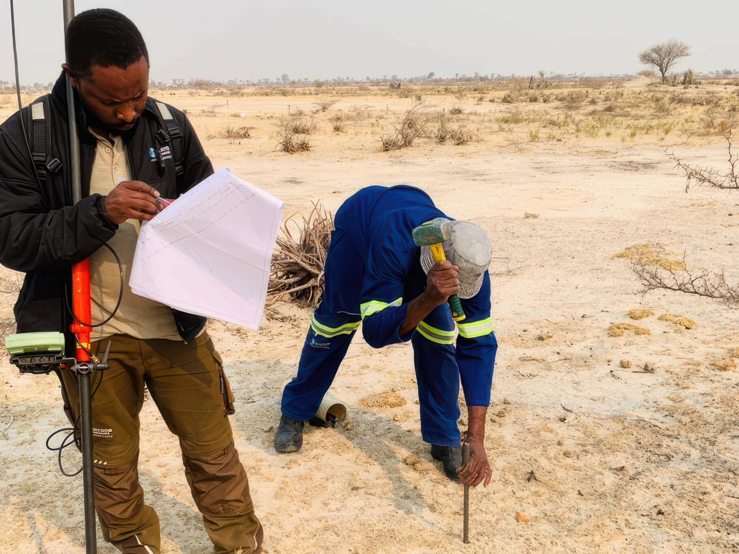
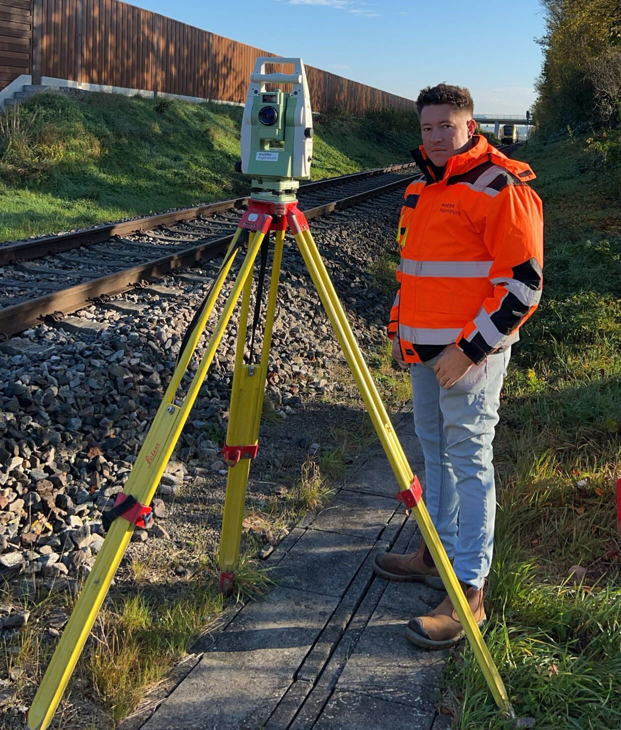
Beacon Relocation
Beacon relocation involves the accurate re-establishment of registered cadastral beacons on the ground in accordance with approved survey records and legal descriptions. This process ensures that property boundaries are clearly and correctly defined, providing certainty for landowners, developers, and authorities before construction, transfer, or development takes place.
Typical applications
• Re-establishment of missing or disturbed beacons
• Boundary confirmation prior to development
• Property transfers and conveyancing support
• Fence line and access alignment verification
• Resolution of boundary uncertainty or disputes
Servitudes & Right of Way Surveys
Servitudes and rights of way define legally enforceable access routes and utility corridors across land. Surveys ensure the servitude alignment, width, and extents are clearly described and correctly positioned for registration, protecting both the servitude holder and the landowner from future uncertainty.
Typical applications
• Access servitudes and rights of way
• Powerline, pipeline, and utility corridors
• Water, sewer, and drainage servitudes
• Servitude registration and amendment support
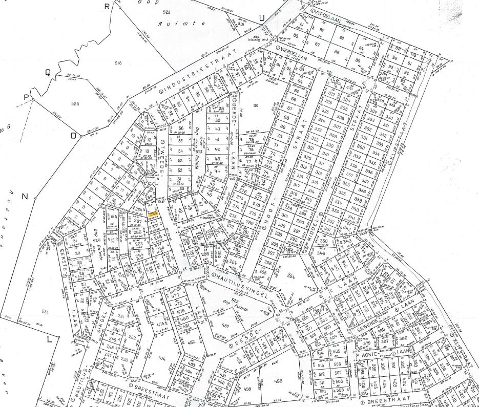
Township Establishment Surveys
Township establishment surveys support new township developments through accurate layout design, survey control, statutory compliance, and preparation of documentation for approval and registration. This provides the spatial framework for erven, roads, public spaces, and services to be implemented efficiently and lawfully.
Typical applications
• New residential township development
• Industrial and commercial park layouts
• Road reserve and public space definition
• Registration support through approval stages
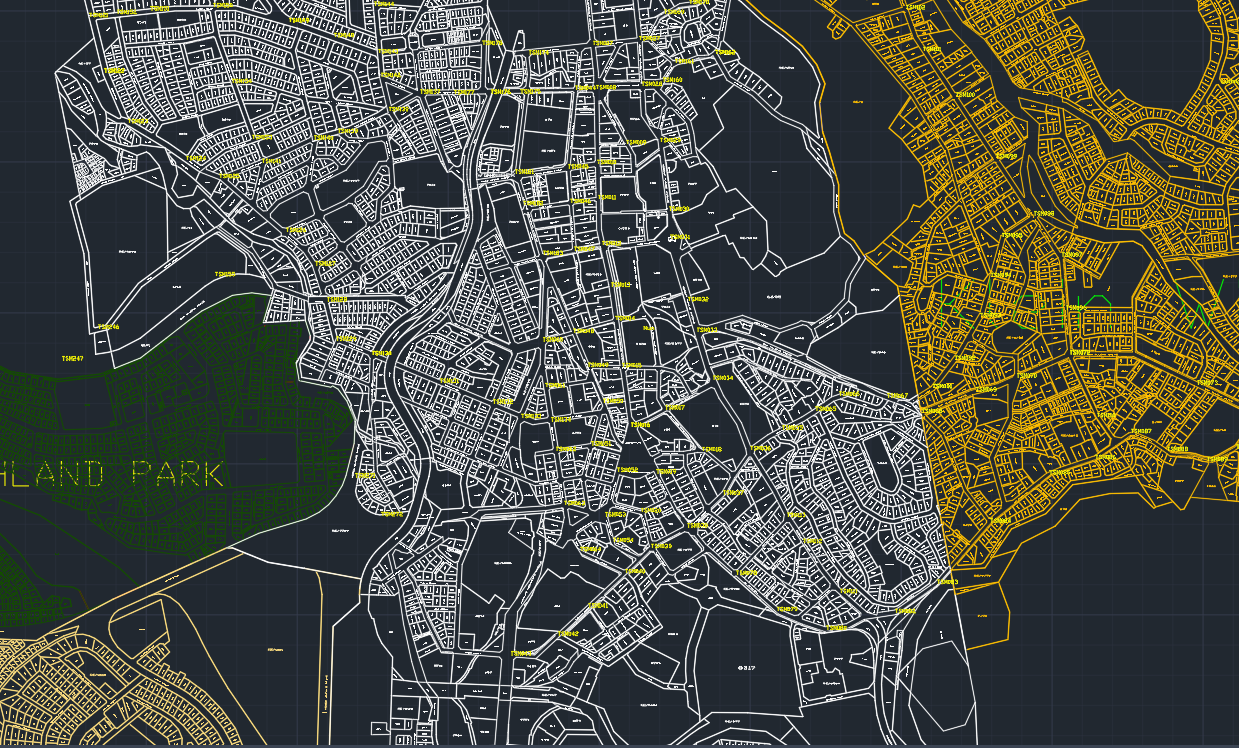
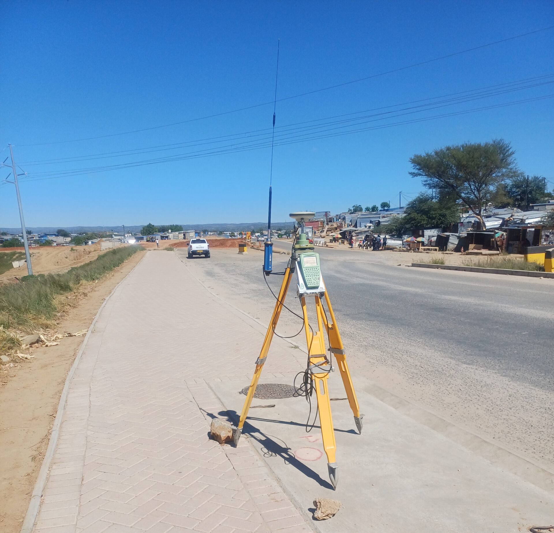
Cadastral Data Capture
Cadastral data capture involves the accurate collection, validation, and organisation of cadastral information for land administration and spatial data systems. This work supports planning authorities and land registration processes by ensuring parcel data is consistent, traceable, and usable in GIS and cadastral databases.
Typical applications
• Digitising and validating cadastral parcel datasets
• Updating cadastral records for planning use
• GIS integration for municipalities and authorities
• Data verification for registration and reporting