Preserving History with LiDAR: 3D Survey of the Flordek Heritage Building in Swakopmund
Introduction
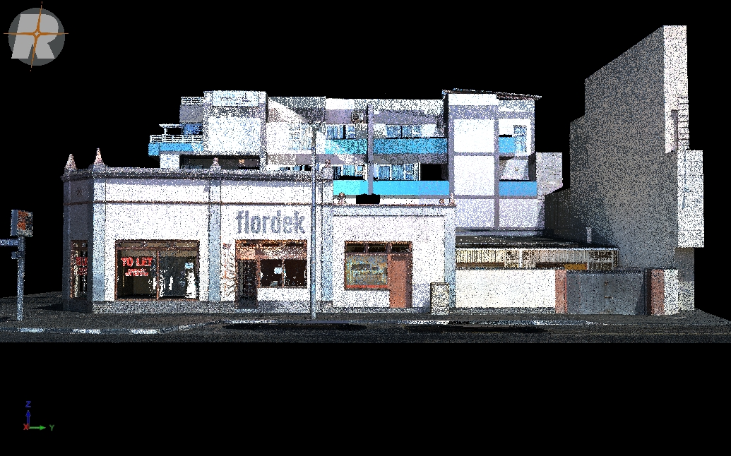
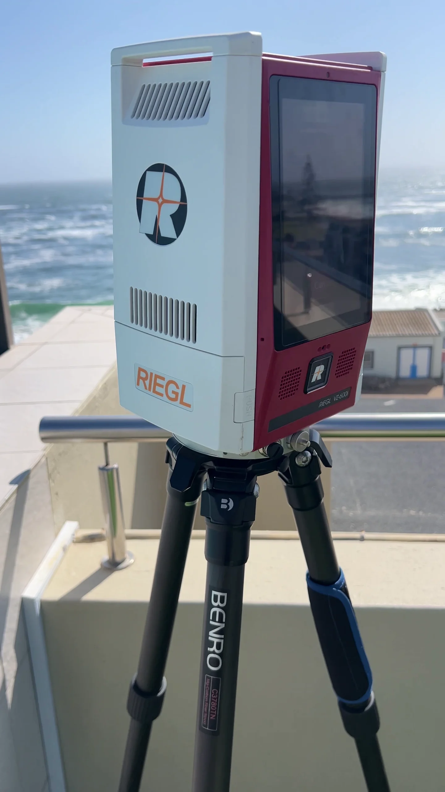
Before renovation begins, it’s important to capture a building’s original state. The Flordek Heritage Building in Swakopmund is one of Namibia’s most iconic colonial-era structures. To ensure that no detail was lost, we performed a full 3D survey using our RIEGL VZ-600 terrestrial laser scanner. The result is a highly detailed digital replica of the building as it stood, available for heritage preservation, architectural planning, and public documentation.The purpose of the survey is not so much to define an area of ownership but rather to determine an area to which the Diamond Act , 13 of 1999 would refer to and be subject to and also to physically demarcate the boundaries of the area.
This would determine which existing areas within the described area are to be included and which excluded, therefore the excludes figures to be considered shown on the working plan and those shown on the diagram. The final list of figures was determined by the working group.
The whole survey was done as a static network. The main network including the 4 Zero-order points, coastline beacons Hottentot & Herman, Trigonometrical beacons Burenkamp & Gas and also 3 survey points along the Chamais Gate road included. This main network was observed for a minimum of 12 hours
The static network was radially calculated starting at Zero-order beacon Aus firstly un-constraint, and all baseline resolved.
Also included in the processing was Namdeb main base station G79GD, daily Rinex data was received form the survey department courtesy of Mr. Mark Bock.

Why This Project Was Important
The Flordek building is a well-known part of Swakopmund’s historic district. With restoration planned, there was a need to document the building before changes were made.
We were asked to:
• Record the building’s current condition with high accuracy
• Provide architects and engineers with detailed spatial data
• Create a digital reference for heritage preservation and public access

Our Approach
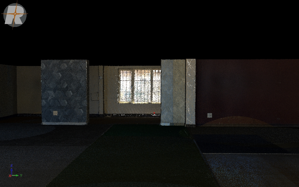
We used the RIEGL VZ 600, a terrestrial laser scanner designed for high-precision work. It allowed us to scan both the interior and exterior of the building in a single day. The scanner performed reliably in Swakopmund’s coastal conditions, giving us clean and consistent results.
Key features of the scan process included:
• Sub-centimeter accuracy
• Fast and efficient setup with minimal site impact
• Full 360 degree coverage from multiple stations
• Reliable data capture despite wind, light shifts, and narrow access points

What You Can Explore
We have prepared four different ways to view the Flordek Heritage Building. Each one offers a different level of detail and interaction.
Walkthrough Video
Take a guided tour through the 3D model. The video shows the scanned structure from key angles and gives a smooth visual overview.
Interactive Point Cloud Viewer
Explore the raw point cloud data used in the model. You can navigate freely and see the scan in full resolution.
Interactive Point Cloud Viewer
Explore the raw point cloud data used in the model. You can navigate freely and see the scan in full resolution.
Ripano Viewer
For those looking for a technical deep dive, the Ripano model viewer offers full model interaction with measurement tools and advanced visualization options.